Welcome to the staging ground for new communities! Each proposal has a description in the "Descriptions" category and a body of questions and answers in "Incubator Q&A". You can ask questions (and get answers, we hope!) right away, and start new proposals.
Are you here to participate in a specific proposal? Click on the proposal tag (with the dark outline) to see only posts about that proposal and not all of the others that are in progress. Tags are at the bottom of each post.
Post History
I've just gotten a copy of Railways of the World after playing and enjoying a few games. The eastern-US map is physically very large and "artistic". I and some of my friends have vision problems ...
#1: Initial revision
Where can I find a simplified Railways of the World map for player reference?
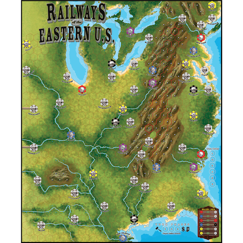
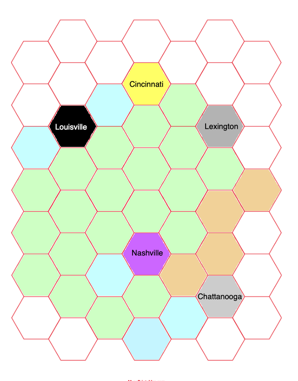
I've just gotten a copy of Railways of the World after playing and enjoying a few games. The eastern-US map is physically very large and "artistic". I and some of my friends have vision problems that make it hard to see things especially near the center of the board, except by hovering over the table in a way that interferes with other players. What I'd really like is a player aid, a "schematic" version of the map that we can consult for quick things like "which city in that clump is the red one?" or for calculating track-building costs. A schematic would include the names and colors of cities and the surrounding terrain types (three options), in an easy-to-see format. I've dug through Board Game Geek without success (though there are a *lot* of files and maybe I missed something). I've found plenty of images of the map, but no simplified renderings. I want to augment this ([source](https://www.eaglegames.net/Railways-of-the-World-Railways-of-Eastern-U-S-Map-p/101121.htm)):  With something like this excerpt (mockup, not the right scale, but just to show the idea):  I made that mockup by searching for hex grids online and coloring in a small portion of the full map. The proportions aren't right -- I didn't find the *right* hex layout -- and anyway, I'd rather not build the entire map like this if someone else already has made something that would meet my group's vision needs. Has someone? Where can I find a simpler reference map to use alongside the real one?


